PointBase®
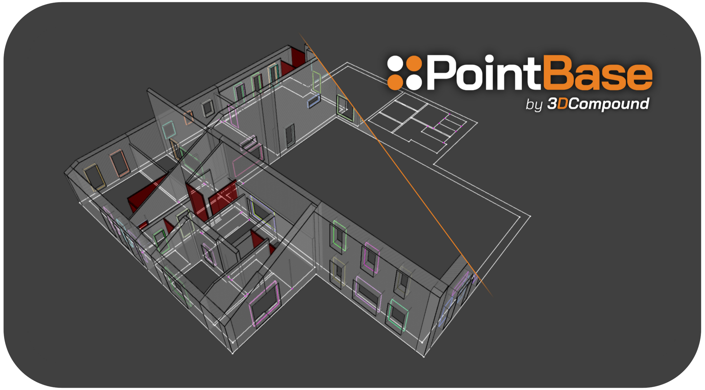
A complete desktop workflow for converting LiDAR scans into classified point clouds, 2D as-built floor plans, and LOD 200 3D models. Verify geometry, inspect discrepancies, and export usable deliverables.
Key capabilities include:
- Streamlined as-built floorplan extraction - combines auto-extraction with simple drafting tools.
- Simplified classification workflow - manual or automatic using AI.
- Local-first design - no uploads or cloud dependencies; data remains on the user’s machine.
- No BIM/CAD expertise required - works without prior knowledge of tools such as Revit or Navisworks.
- User-friendly interface - Intuitive, clean, and built for efficiency.
Supported Units:
PointBase is unitless and operates using the units contained in the source point cloud. No unit conversions are required.
Supported Point Cloud Formats:
LAS, LAZ, PCD, E57
Export Options:
- Point Clouds: LAS
- 2D Floorplans: DXF and PDF
- 3D: IFC, STEP, OBJ